Walk to Lower and Upper Slaughter
About 1.5 miles (2.5km) each way to Lower Slaughter; about 1km more to Upper Slaughter · Gentle valley walking elevation
About
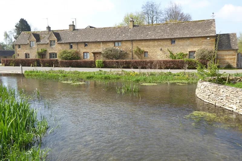
The walk most people who stay in Bourton end up doing. The Mousetrap Inn's walking notes put Lower Slaughter about 1.5 miles away, following part of the Warden's Way from the war memorial in the village centre past St Lawrence's Church and out across open fields and quiet lanes. The path crosses the old railway embankment and the A429 Fosse Way, a fast road, then heads north over the fields into Lower Slaughter beside the River Eye, where the stream runs along the street under small stone footbridges past the Old Mill. Upper Slaughter is about a kilometre further up the valley; the Mousetrap describes a 5.4-mile circuit that takes in both villages. Bourton is the meeting point of nine waymarked routes, including the Monarch's Way and the Heart of England Way, according to the village visitor site. The field paths are muddy after rain; wear boots outside high summer.
Highlights
- ✓The River Eye through Lower Slaughter
- ✓The Old Mill at Lower Slaughter
- ✓Field paths and stone stiles
- ✓Back in time for tea
Tips
- →Wear boots: the field paths hold water after rain.
- →Keep dogs on leads near livestock.
- →There is no bus between the Slaughters and Bourton, so plan to walk back.